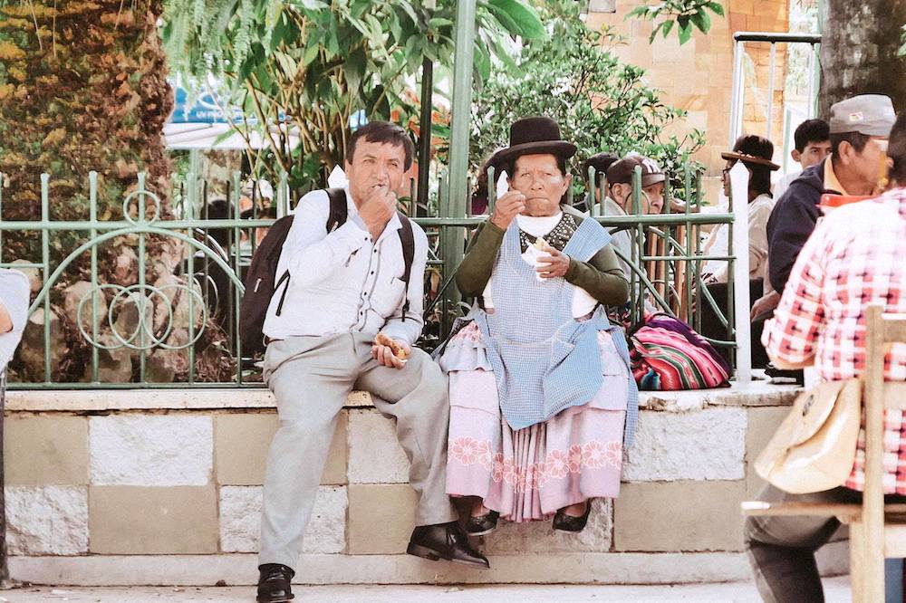
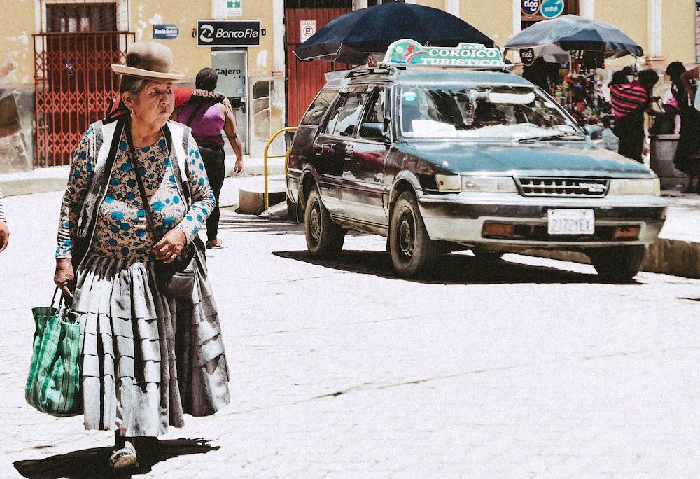
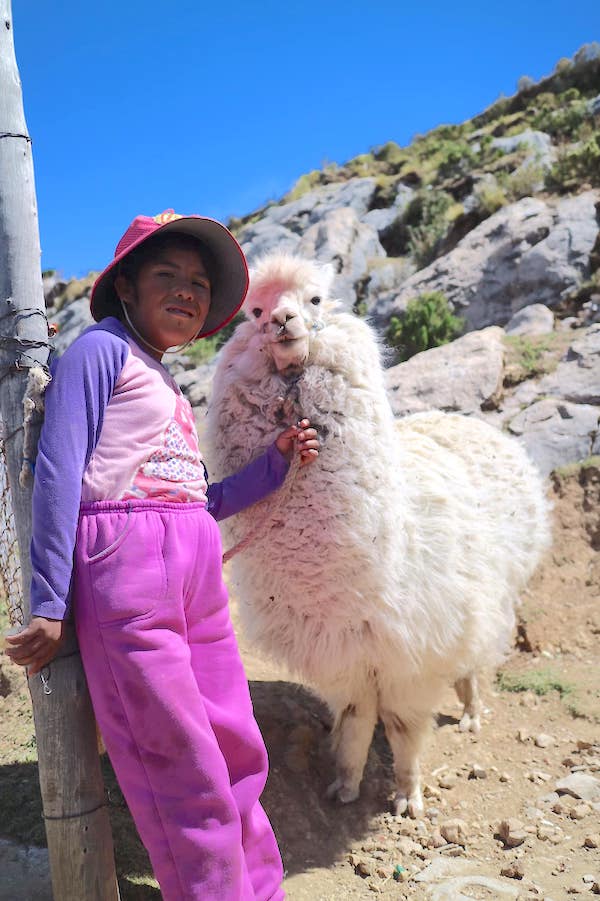
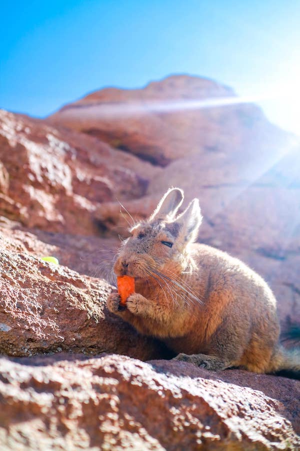
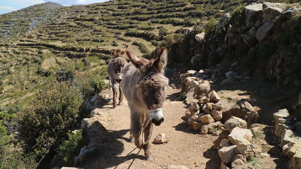
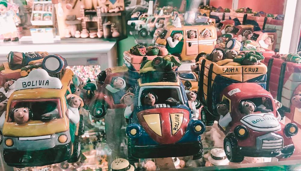
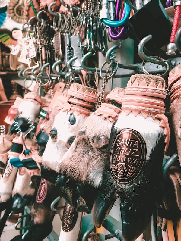
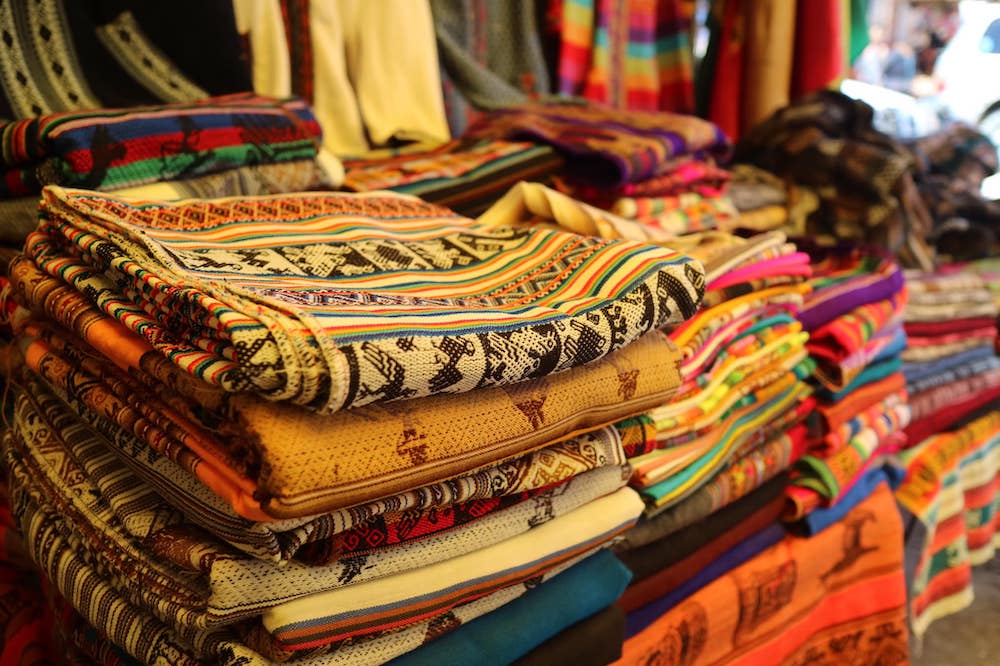
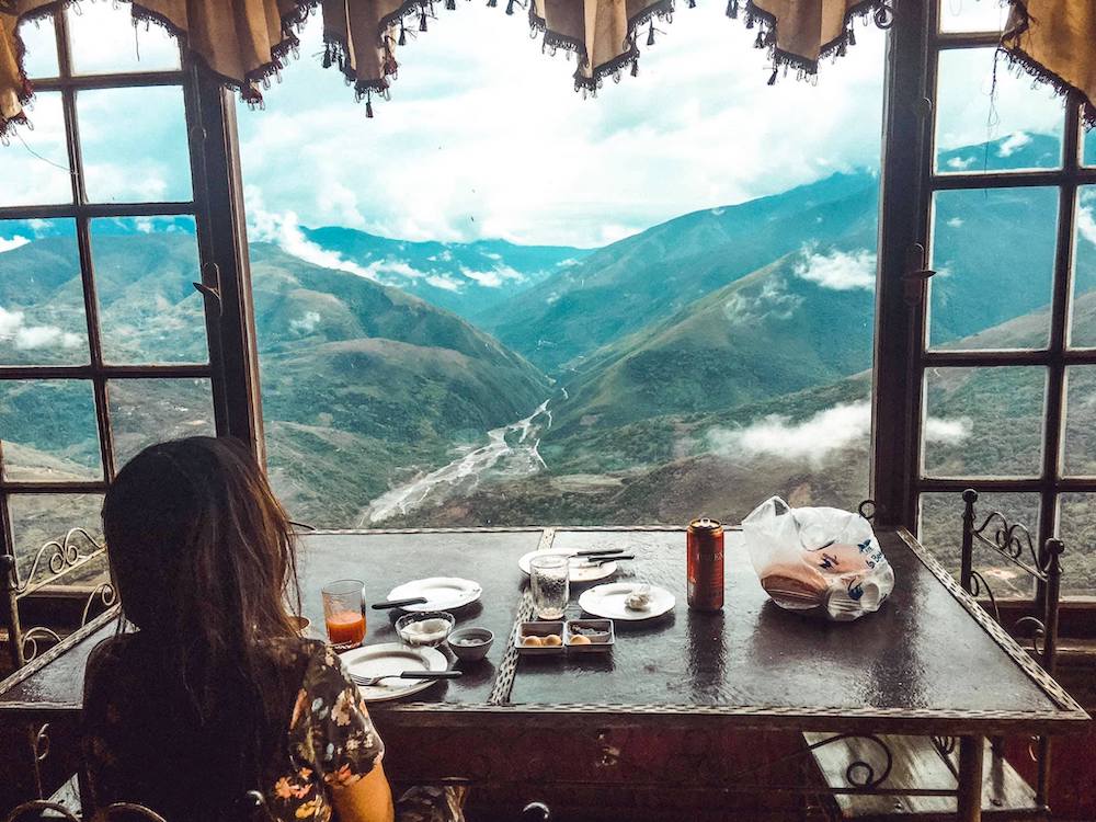
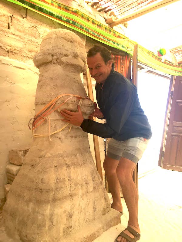
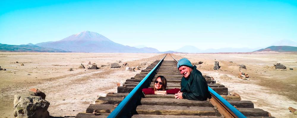
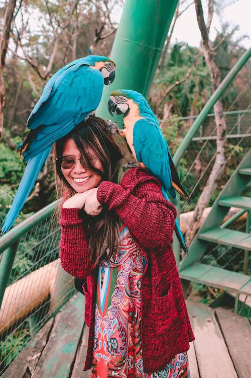
As my wife so brilliantly coined, one can only say unBoliviable!
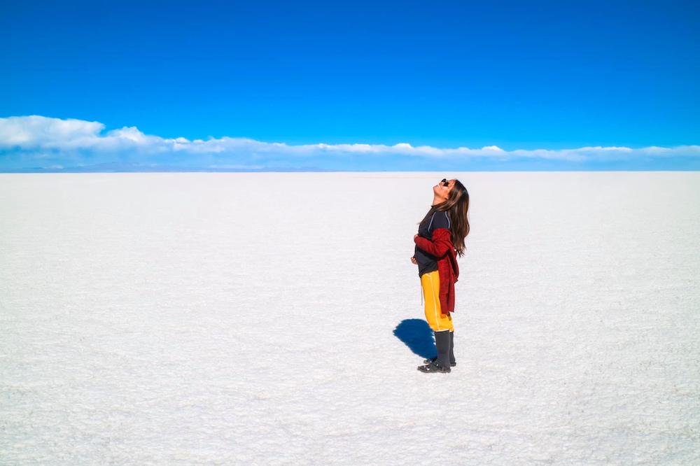
We flew into Santa Cruz so we could make a path through the country, ending in La Paz. Our first major tourist visit was the Salt Flats of Unuyi.
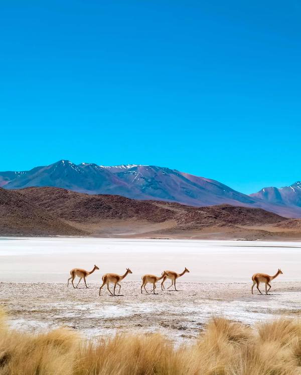
We booked a room at the Bunker Hostel, who arranged the tour for us. There is the one day and three day tour, but we recommend doing the full three day tour. We thought about renting a motorbike and doing the tour ourselves to save money, but in hindsight would recommend not, as the below video shows. Most of the way the roads have eroded over time and our own driver zigzagged the various possibilities, seemingly with a foreknowledge of which way was the least bumpy. Besides, there can be very long, dusty stretches between the stops, which as a passenger in a van you can utilise with a comfortable nap. When you can no longer sleep it is interesting to watch the landscape, reminiscing of the moon in want of mining. The mountain ranges are often rainbow coloured with the various minerals, there are no trees, but the desert floor is sprinkled with spots of shrubs nibbled on by the free roaming Llamas.
- On top of the regular tour price, there is also a mandatory entrance fee into the national park of 150b, then an additional 30b fee to enter cactus island (optional).
- Depending on the time of year, it can get rather cold at night, where the atmosphere is thin at that elevation. After dinner we ran to the warmth of our bed, so we missed some quality social time with the other guests.
- No gas stations along the way. Our guide had a stock on top of his fourxfour. Note that beers are very expensive out there! Not many stores, so bring a big jug of water.
- None of the places had any toilet paper!!
Here is a summary video of our visit to the flats.
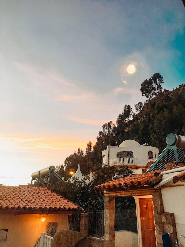
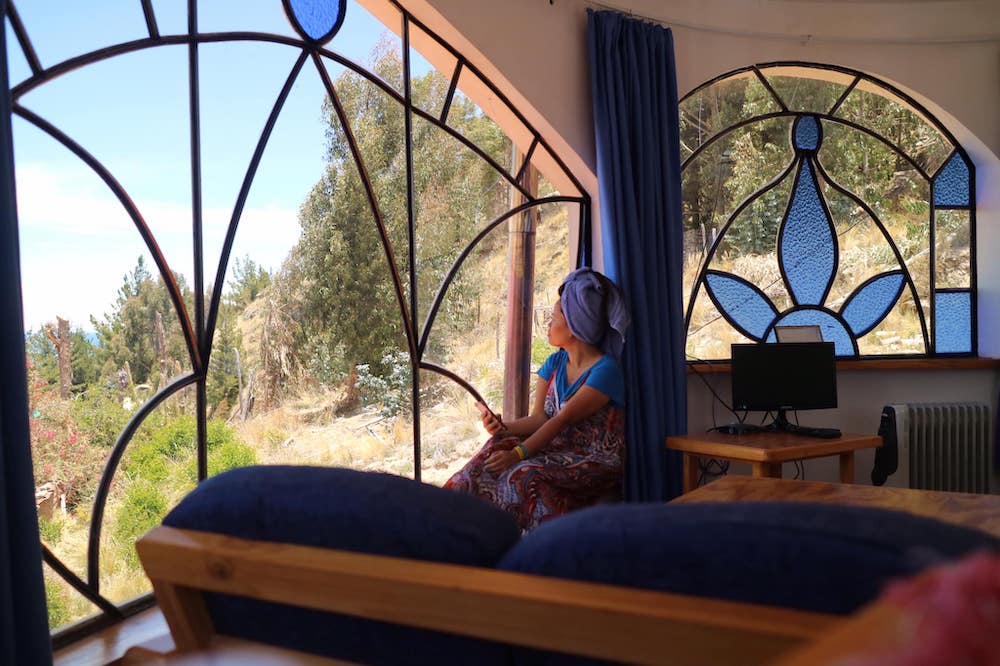
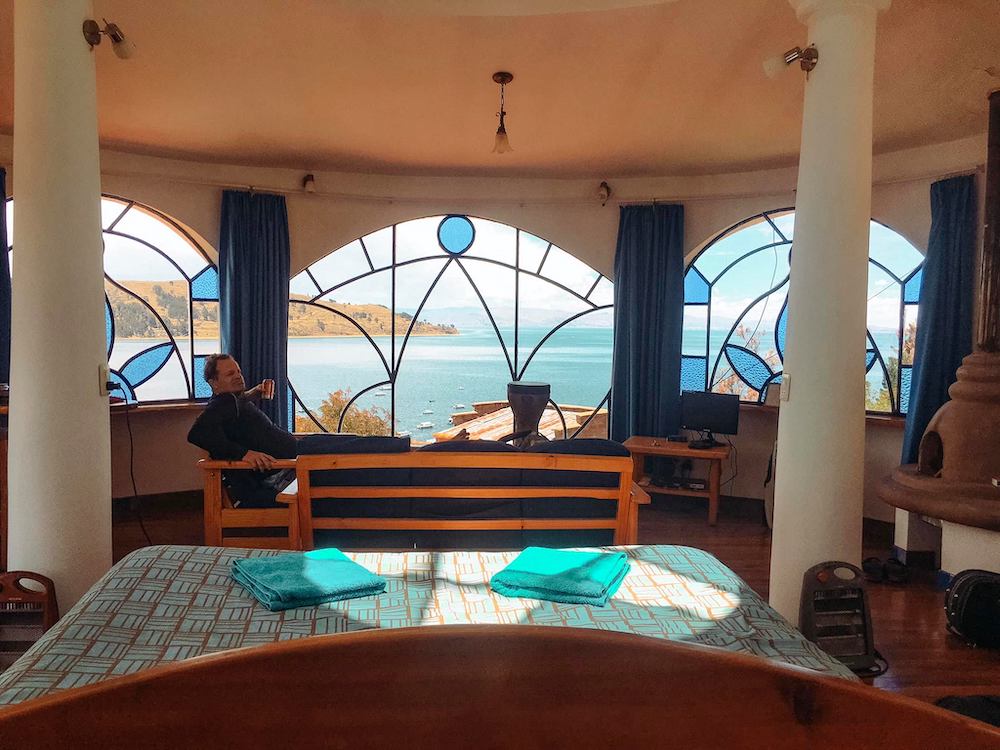
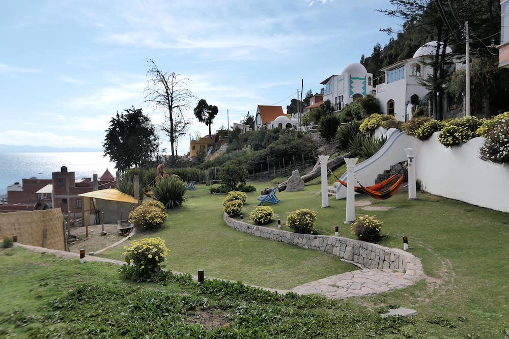
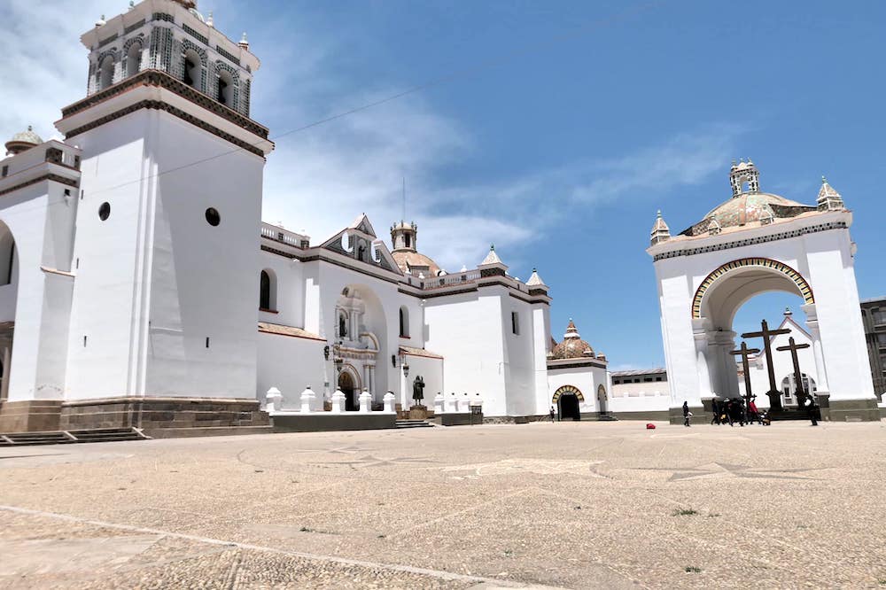
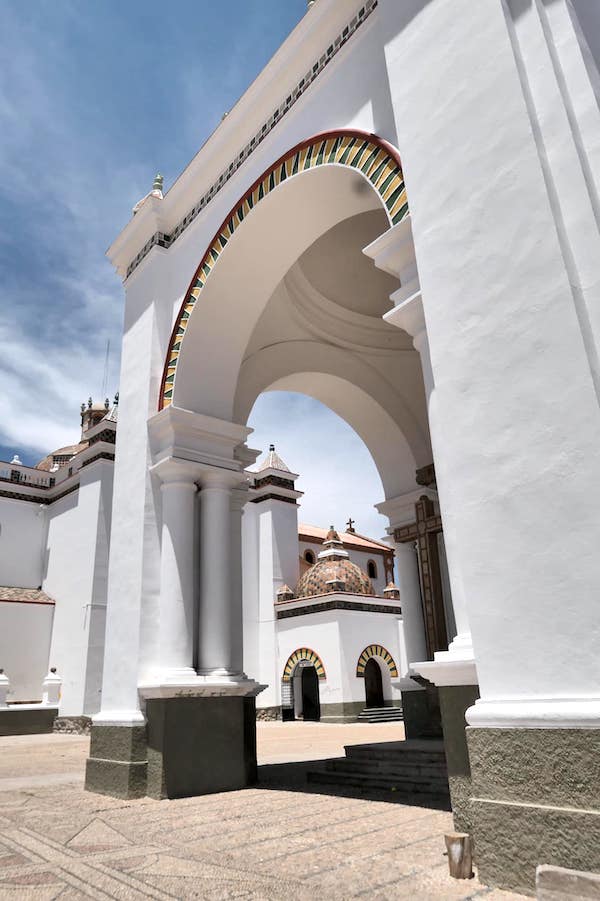
Not the same hotel mentioned in the above paragraph, but a fancy one we stayed at in the town of Copacabana. Ours was the extra fancy one at the very top. Why not treat yourself once in a while?
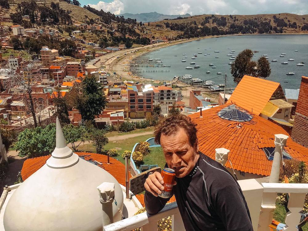
The town of Copacabana in the background.
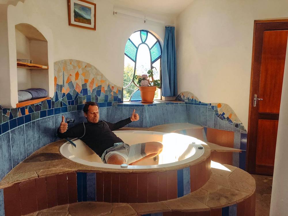
It even had a jacuzzi, although powered by solar so the hot water didn’t last so long.
3-Days-Package
Day 1
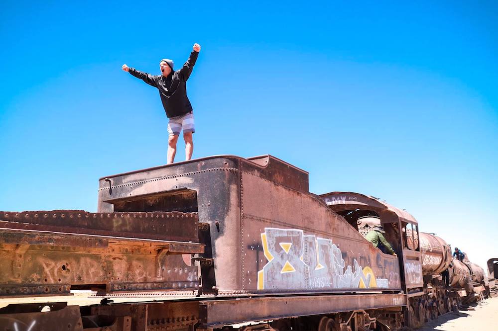
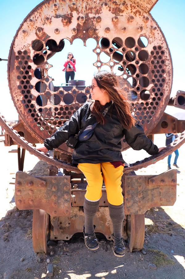
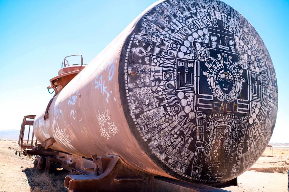
Cementerio de trenes (train cemetery)
The first railroad track of the country of the year 1899 has been the first direct connection between Uyuni and Antofagasta. The potential of the silver mines of Huanchaca led to that the railroad track formed a main pillar for the industrial development and establishment of some villages, though the trains left Uyuni full with silver and in exchange there came more and more people of other places and countries with the unique intention to get something of the wealth and they didn’t care about the preservation of the railroad line. And it happened how it seems to be often the people who profit had been only interested in being there until it was worth and profitable. After the people left the country the maintenance of the trains, which has been the proud and livelihood of the natives, regrettably has been ignored. Due to that fact de trains were left on the abandoned track.
Colchani – Artesanías De Sal – (Colchani – salt artwork -)
Colachani is one of the most important community of Uyuni, because it owns one of the biggest salt factories of the country, which has a capacity of salt extraction of approximately 20.000 tons of salt each year. 90% of the salt can be used for the human consumption. The population of Colchani counts 580 citizens, the focus on their economic activities is on salt production, agriculture (quinoa), handicraft and tourism.
The village Colchani is an obligatory stop on the way to the majestic Salar de Uyuni (salt desert). One of the particularities of the place is the construction of the small houses, which has been build of salt bricks. Furthermore, in addition to the salt fabric the handicraft stands, located in the main street, are another attraction of the community.
Montones de Sal (salt heaps)
The village people realize the hand-operated procedure, the hoarding of the salt, to dry the humid salt, by letting drip of the water.
Ojos del Sal (salt eyes)
Small eruptions of salty water on the places – where the underground opens – are forming small lagoons, which are being called Ojos del Sal (salt eyes).
Hotel del Sal – Museo, Monumento Del Dakar Y Banderas De Todo Los Países – (salt hotel– museum, Dakar monument and national flags of all countries)
The Hotel del Sal (salt hotel) was the first and unique salt hotel inside the salt desert Uyuni and was constructed in 1990. It´s function as a hotel has been for 10 years until it had to shut down because of the claim of the community, due to the fact of the contamination of the hot water. Right now it is being used as an museum, which charge you to buy chocolate for the entrance ticket. On this place you also find the Rally Dakar monument, which has being built in 2014, and the different national flags of all countries.
Isla Incahuasi (Island Incahuasi)
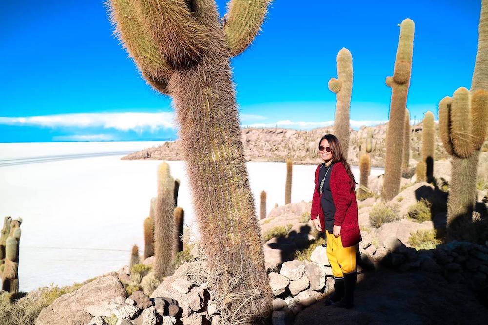
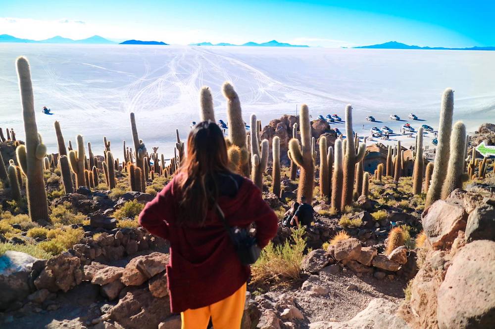
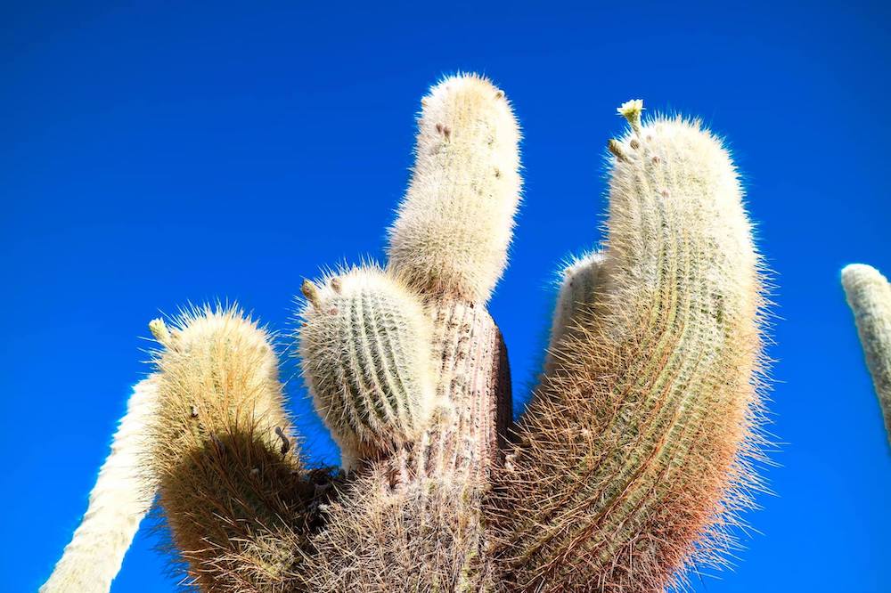
The Island Incahuasi (Quechua) stands for “the house of the Inca” and shaped over the rests of a volcano and bases above stoned corals and two types of stones: the black basalt and the reddish regolith. On the highest point of the island is the central point of the salt desert, which allows you a spectacular 360° panoramic view. Ceremonies of sacrifices had been held there from the Aymara tribe. Moreover, you can visit the numerous cacti, which are different high (until 12 meters).
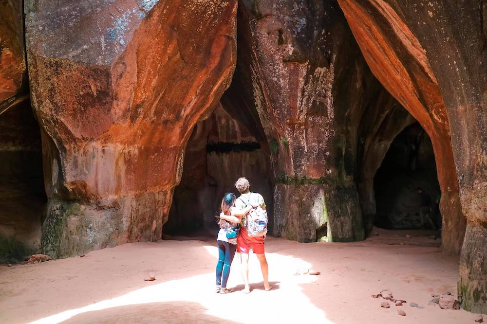
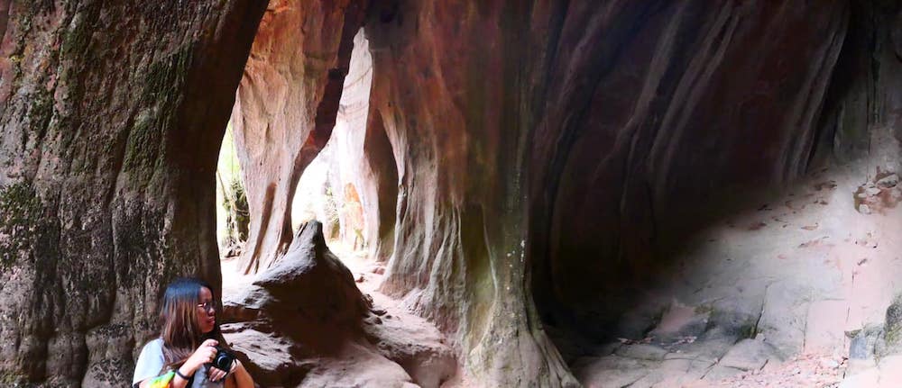
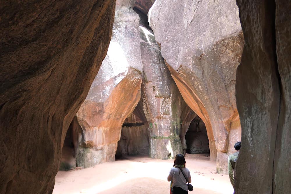
Cueva de las Galaxias de Aguaquiza (cave)
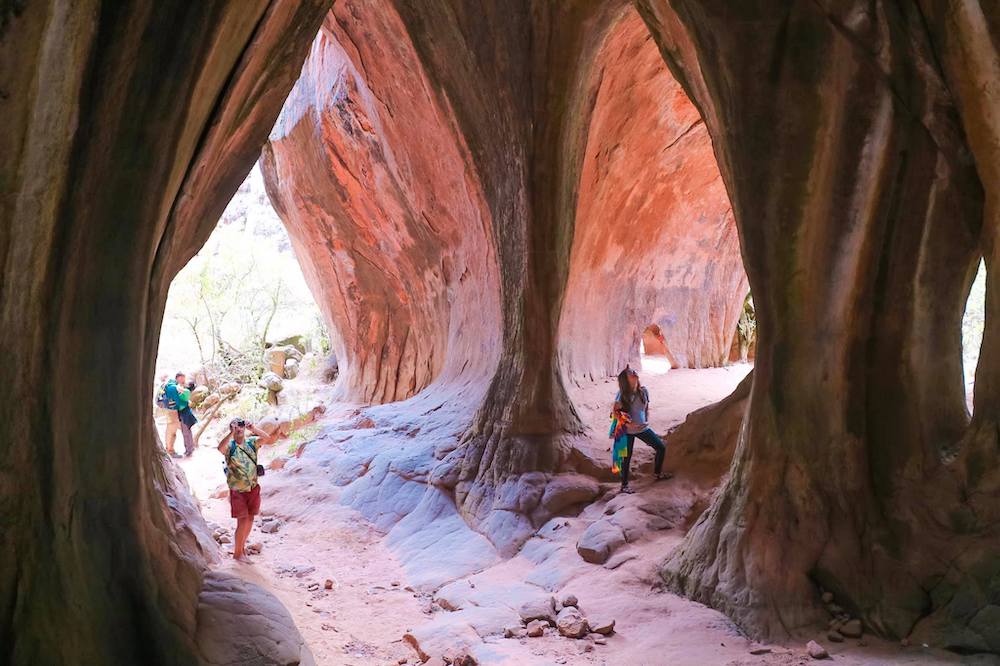
The Cueva de las Galaxias de Aguaquiza is an undersea cave, which has been built before the ice age. This phenomenon is leading back to correspondingly volcanic eruptions above the see Minchin (today salt desert). This cave shows different shapes of the rural surroundings, because on the place where the stalactites and stalagmites, which are arise from the roof or from the floor, are calcareous objects, completely different crystal shapes of magma in combination with water. The cave is 7 km away from the community Aguaquiza on the track to the community of San Pedro de Quemes.
Cueva del Diablo (devils cave)
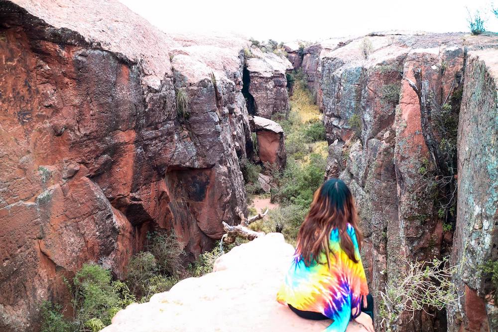
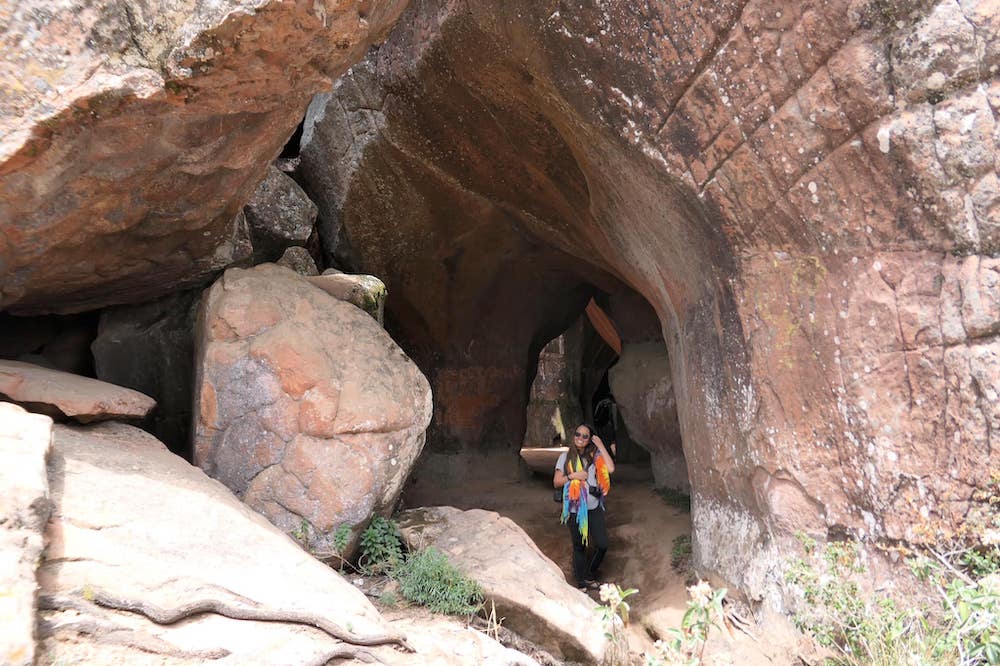
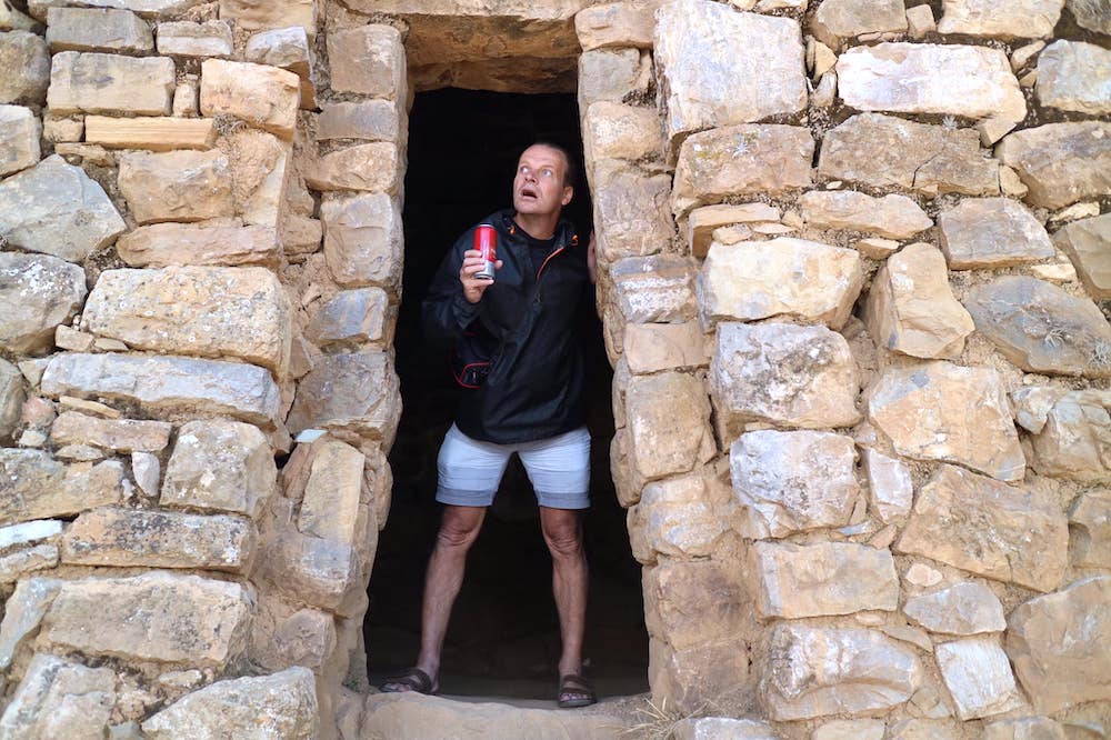
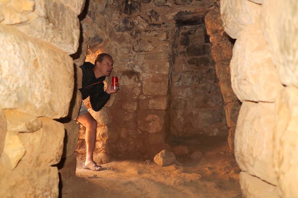
In the same hill and close to the Cueva de las Galaxias you have the possibility to visit also the devils cave, which has pre-Columbian constructions inside. Furthermore, you can also do hiking and explore the surroundings of the two caves following a track to a viewpoint, where you have a beautiful view about the salt desert.
Cactus de Piedras Calaveras (skull rock cacti)
The skull rock cactus is the best example for the adaptability to extreme climate conditions, like the desert in Namibia, which is one of the driest in the world. Only the morning dew permits life. It´s shape permits him to escape from predators. The first description of this kind, the most common Mesembryanthemaceae, appeared 1815 in the geographic catalogue of the botanist and natural scientist John William Burchell.
Hotel del Sal – Pernoctamos – (salt hotel – overnight stay)
FOTO
It´s a locality of Bolivia, located in the district of Colchani the province of Nor Lípez in the department of Potosí in the southeast of the country. The salt hotel is 127 km away from Uyuni. The access route isn´t asphalted and the hotel is at a height of 3.696 meters above the sea-level, where the climate is frosty. It´s a basic accommodation of salt, which offers to tourists, who make the 3-days-tour through Uyuni, the possibility to stay there overnight.
Day 2
Ejecito de Piedras
Mirador del Volcan Ollagüe (viewing point to the volcano Ollagüe)
The volcano Ollagüe is an active volcano, located on the border of Bolivia and Chile, on the mountain range of the Andes. It´s height is 5.870 meters and the caldera inside diameter is 1.250 m, the part on the south erodes and exposes parts of the lava. Moreover, you can also recognize the two volcanic fumaroles in the air. The hugest gas emission counts 100 meters and is 700 meters east of the caldera, where you can observe yellow- (Sulphur) and white-colored (steam) gas emissions. There is the possibility to visit them by foot from the basis of the volcano. For that you need to be in a good physical condition and a tour guide. From the viewing point you are able to see the fumaroles and take photos of the majestic shape of the volcano.
Laguna Cañapa (Cañapa lagoon)
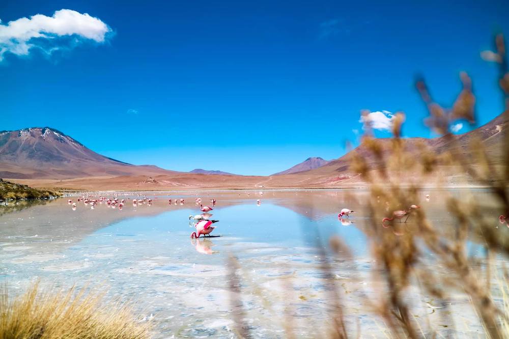
The lagoon Cañapa is a Bolivian salt water lagoon in the department von Potosí, close to the Hedionda lagoon. It measures a surface of 1,42 km2, although the biggest part consists of a salt crust. In this lagoon you can observe different kind of flamencos.
Laguna Hedionda (Hedionda lagoon)
The lagoon Hedionda is a Bolivian salt water lagoon in the department of Potosí, close to the border to Chile. It measures a surface of 4,5 km2 and is close to the Cañapa lagoon and a lot of others. The coastal perimeter amounts 9 km and it is located at the height of 4.100 meter above the sea-level. Here you can also see various types of flamencos.
Laguna Ramaditas (Ramaditas lagoon)
The lagoon Ramaditas is surrounded by volcanos, which are often snowcapped, though there are recognizable some green and rust red color parts. This lagoon is also the natural habitat of flamencos, gulls of the Andes area and ducks.
Desierto de Siloli (Siloli desert)
The Siloli desert is know as one of the driest deserts of the world, which is traced back to the fact of the low amount of precipitation. In its surroundings you will find the colored lagoons and the huge salt desert Uyuni, which is also part of the national park Eduardo Avaroa. The visit of the Siloli desert happens also during the 3-days-trip (2 nights) with a jeep.
Mirador del Desierto de Siloli (viewpoint of the Siloli desert)
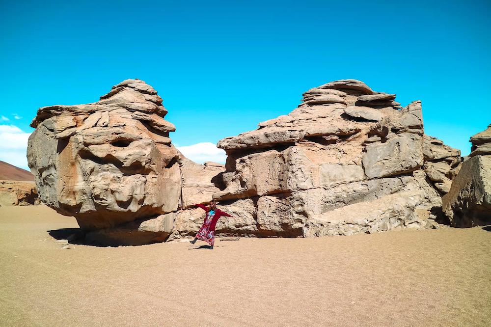
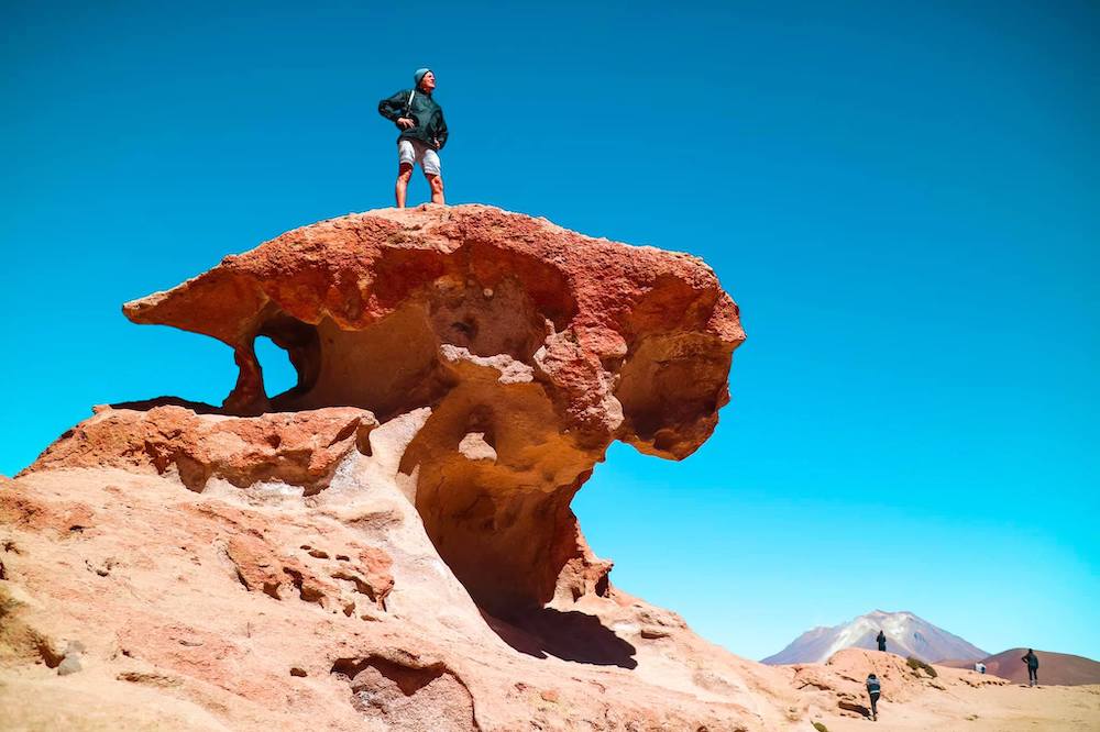
The viewpoint of the Siloli desert is on the point, where you can see the interesting rock formation, which is known as the Árbol de Piedra (rock tree).
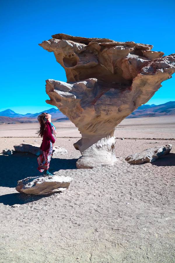
Arbol de Piedra (rock tree)
The Árbol de Piedra (rock tree) is a rock formation of volcanic rock measuring 7 meters of height and which is also named as Roca de Seta (fly agaric rock). Furthermore, it has been declared as a natural monument. It is a geomorphological shape with the visual appearance of a fly agaric rock, that results due to wind cavity and exists of volcanic stone. There are also other volcanic rocks in the Siloli desert, close to the entrance of the national park Eduardo Avaroa.
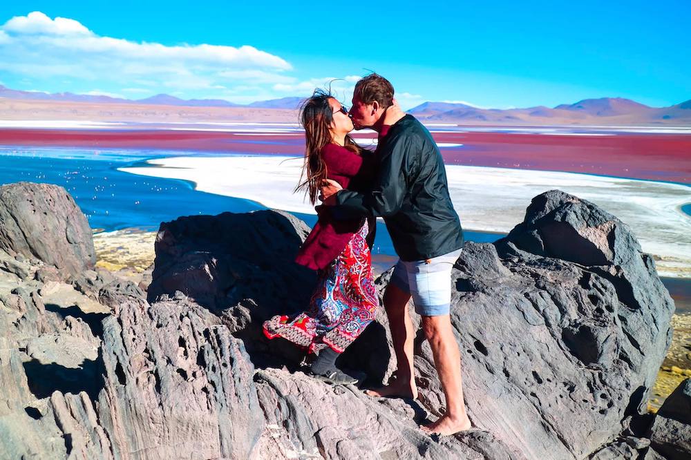
Laguna Colorada (red lagoon)
The red lagoon is located at a height of 4.278 meters above the sea-level and is with an extension of 60 km and a deep of 80 cm the hugest lagoon of the region. This place is considered one of the most important point to observe flamencos. It is demonstrating a unique bright red play of color. The cause for that are weakened color pigments of microscopic algae and sediments, which are changing their intensity during the day. The red lagoon is surrounded by salt desert, snow-capped volcanos and thermal waters.
Huayllajara – A 5 Km De La Laguna Colorada, Pernoctamos –
(5 km away from the red lagoon, overnight stay)
The municipal lodging in Huayllajara close to the red lagoon are offering the food supply. There are many basic lodging and accommodation of the native people.
Day 3
Gueyseres – Sol De Mañana Fumarolas – (geysers – Sol de Mañana fumaroles)
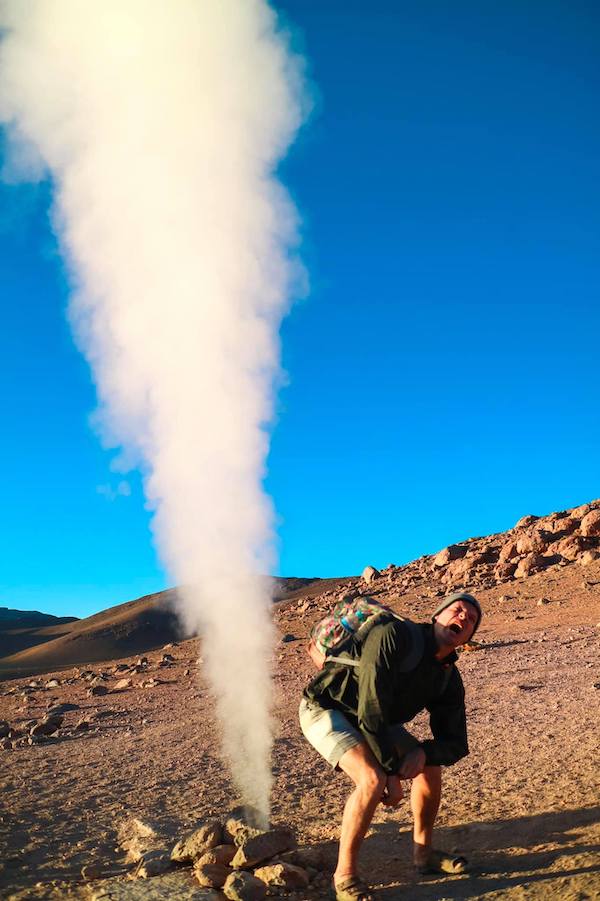
The geysers Sol de Mañana are located 50 km south from the red lagoon. This area is with a height of 5.000 meters above the sea-level the highest area of the region. Characteristic are the many calderas, which show constant volcanic activities. Fumaroles emit Sulphur gases and fountains catapults steams in the air – 10 – 50 meters or sometimes even 80 – 200 meters -.
Aguas Thermales de Polques (thermal waters Polques)
In the west of Chalviri you can find the big salt lagoons or also thermal waters Polques, where are small warm pools, which have a temperature from 28 to 30°C. The thermal waters have also a healing effect, for example against arthritis and rheumatism.
Desierto Salvador Dalí (Salvador Dalí desert)
The Salvador Dalí desert is located at a height of 5.000 meters above the sea-level, where you can admire huge formations of rock, which stand the test of time. Moreover, the desert is surrounded by amazing landscapes and many attractions and give notice of the Laguna Verde (green lagoon). The distance to the red lagoon is approximately 100 km and the desert extends to 17 km2. At the height of 4.300 meters the color of the water is special because of the content of plumb, magnesium, calcium carbonate and especially arsenic. The Salvador Dalí desert has also a viewpoint – located on a natural hill – where you can see the lagoons and the volcano.
Laguna Verde (green lagoon)
The green lagoon is a salt lagoon of the national park Eduardo Avaroa, which presents itself in an emerald green color. This color results of the content of magnesium, calcium carbonate, plumb and arsenic. In this lagoon doesn´t exist any kind of life, because it´s toxic and in the height of 4.450 meters above the sea-level.
Laguna Blanca (white lagoon)
The white lagoon is a lagoon in the High Andes in the national park Eduard Avaroa in the southeast of Bolivia in the department of Potosí. It presents itself in a white color and has a high mineral content. This lagoon is in the area of Puna, which has a really dry climate. The dimensions are 5,6 km of longitude and 3,5 km of wide and a surface of 10,9 km2 at a height of 4.000 meters. Furthermore, it is connected with the green lagoon on a small part.
Volcan Licancabur (volcano Licancabur)
The volcano Licancabur is an active volcano in the north of Chile close to the border of Bolivia. It is located 40 km east to the city San Pedro de Atacama. Licancabur demonstrates an impressive symmetric form of constant 30° of his ways. Furthermore, it has the highest sea of the world inside its caldera. The 400 meters peak is located at a height of 5.913 meters above the sea-level. The sea measures 90 to 70 meter and its temperature are 6°C. The location of the sea is in the desert Atacama, the worlds driest point, at least for the last 500 years.
Retorno a Uyuni por Villamar (return journey to Uyuni over Villamar)
The colonial village Villamar is located in the northeast of the country. The coordinates are 20°01’ of the northern latitude and 102°36’ of the western longitude. It is at a height of 1.540 meters above the sea-level and is limited in the north to Venustiano Carranza and Pajacuarán, in the east to Chavinda and Tangamandapio, in the south to Tingüindín and Tocumbo and in the west to Cotija, Jiquilpan and Sahuayo. The distance to the capital is 189 km.
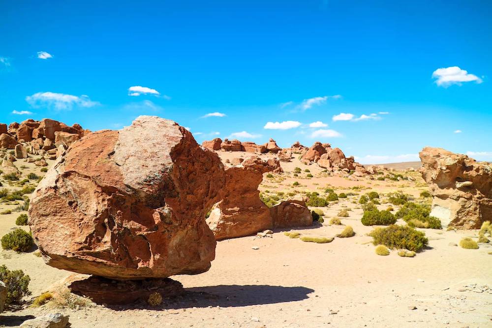
Valle de Rocas (rock valley)
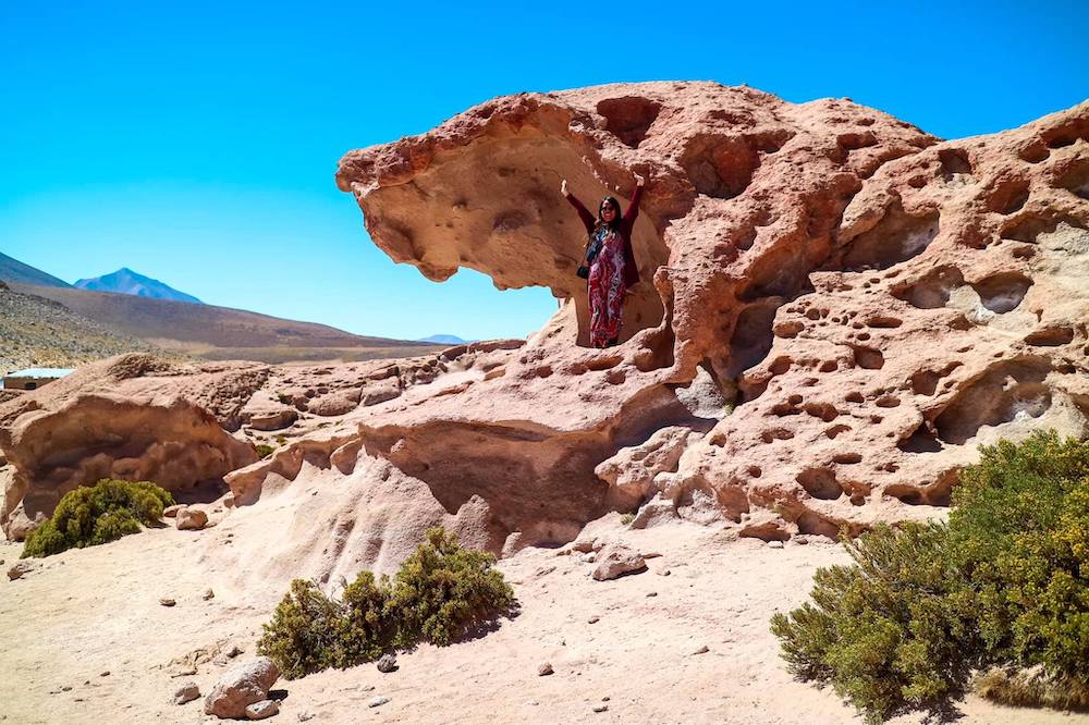
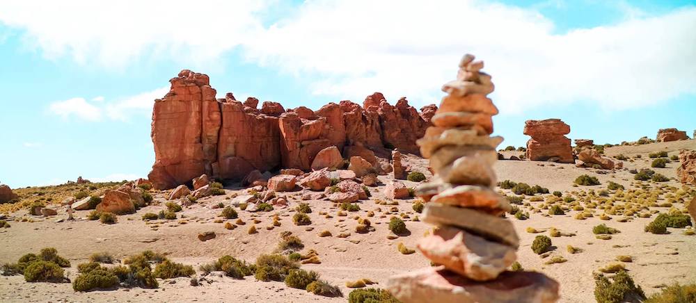
The rock valley is a formation of volcanic rocks, which exists since thousands of years. These rock formations are being formed constantly by the wind. There are rocks, which have the form for example of a lion, the face of a Inca or also of a monkey. The valley is located at a height of 3.900 meter.
Cañon de Anaconda (anaconda canyon)
Iglesia San Cristóbal (San Cristobal church)
The San Cristóbal church is in the community Colchani in the province Nor Lípey, located at a height of 3.775 meter. The church was relocated stone by stone, like the original village San Cristóbal, to the new place where you can find it now. The cause of the relocation were the advanced mining operations on the original place. After finding a not unproblematic agreement they decided with the support of experts the relocation of the whole church.
Some more pics
 |
 |
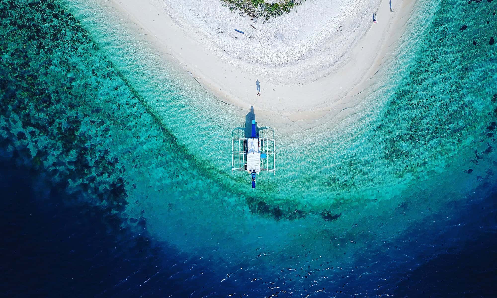
If you enjoyed our journeys, next time you are in the Philippines, make sure to ring us up so we can arrange a loverly boat tour through the beautiful Palawan. 52 white sand beach paradise islands in crystal clear waters, fantastic snorkeling, and so much more.
Come join us on one of our paradise boat tours in the Philippines!
