Haad Rin Nok to Haad Yuan and Thian Nature Trail, Koh Phangan

Haad-Rin-Nok-to-Haad-Yuan-and-Haad-Thian main
 

Haad-Rin-Nok-to-Haad-Yuan-and-Haad-Thian-01

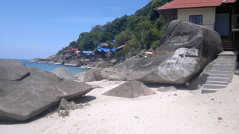
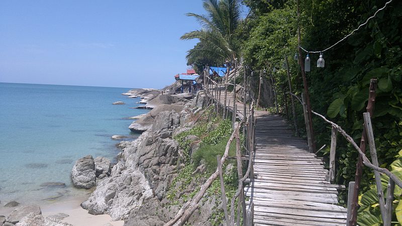
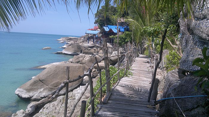
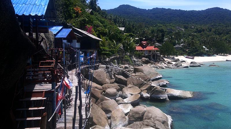
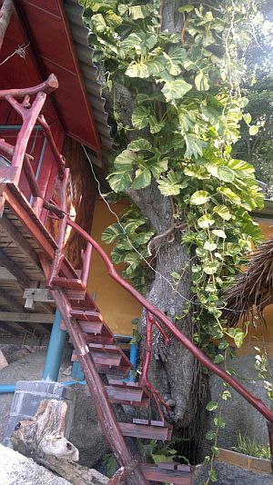
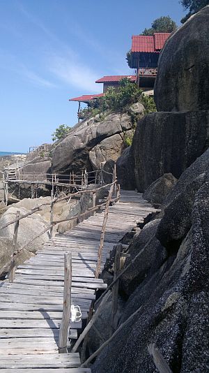
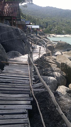
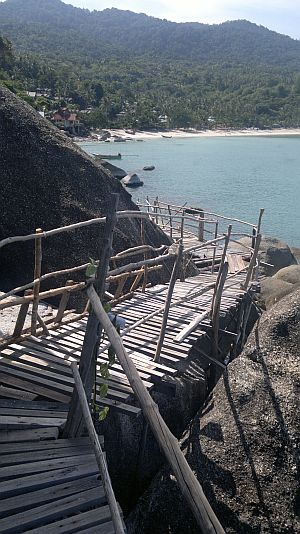
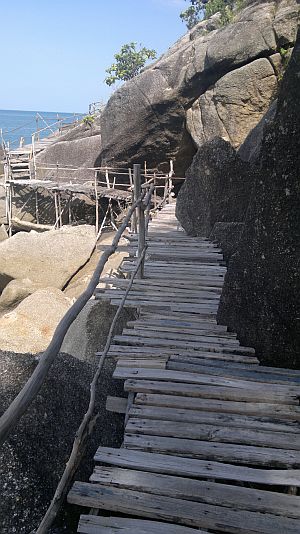
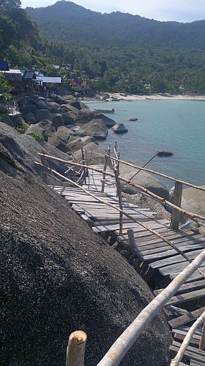
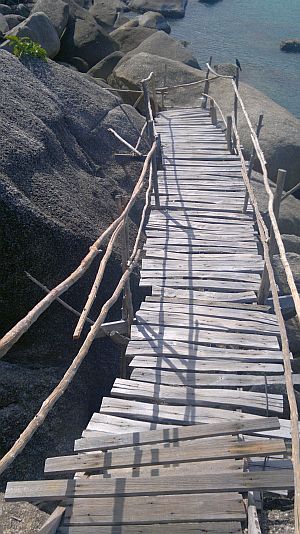
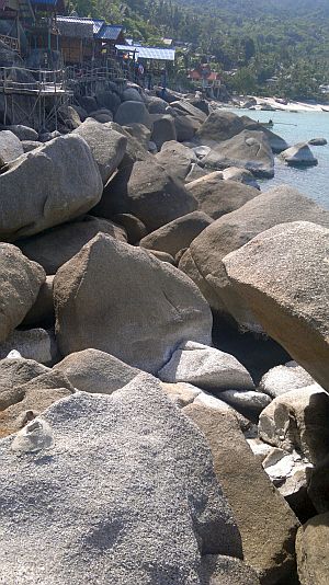
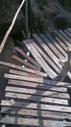
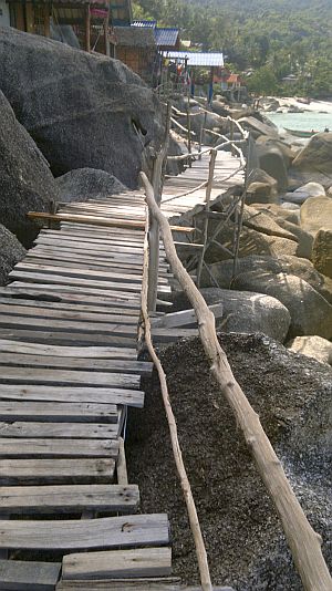
Haad Rin, otherwise known as Sunrise Beach or the Full Moon Party, is an island beach on Koh Phangan, Thailand, where mostly zany youngsters trip out for a few days, drinking out of buckets, painting themselves like natives and experiencing the firey ocean-side under full moon. But why stay on that beach your whole time here when you can experience some of the many wonders on this island? Such as a stroll through nature to the next set of beaches in the north. You can take a quick boat trip back if you only want one way. But warning, this one's a workout! Between 1.5 and 2.5 hours, depending on what shape you're in. The first quarter is the toughest, but if you can make it past this steep and consistent climb the rest is easy. Even on the way back. It's the nicest trek on the island and easiest to follow, by which you get to the nicest set of beaches on the island. And a bonus of checking out the cafés hanging off the cliff just above the ocean, equipped with rickety rackety wooden sidewalk. The funkiest place on the island.

You can check out the couchsurfing post to see if anyone is interested in joining you. Or post a reply there asking for a jungle trekking mate. Don't worry, no tigers around here!


Keep going!


Haad-yuan-smoke-bar-koh-phangan-thailand
"Don't worry everything OK" at the Smoke Bar.

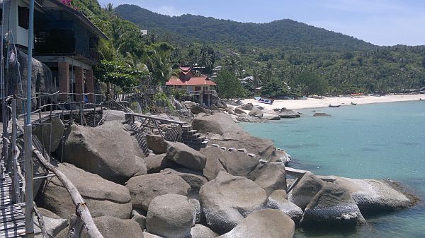
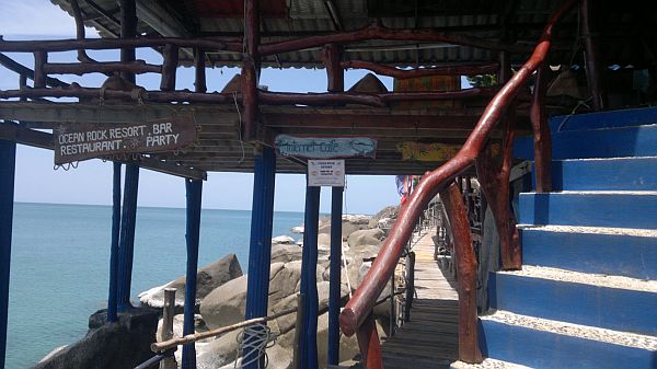
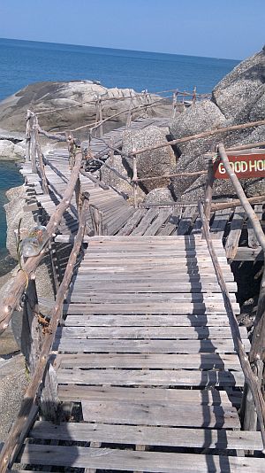
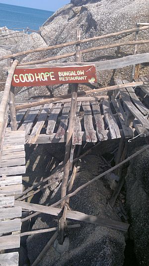
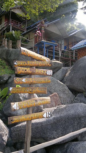
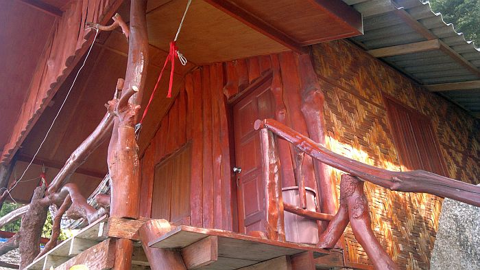
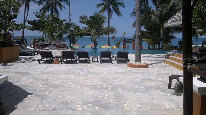
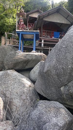
Once you get there and enjoy the stronger waves and wind on that, open ocean-facing side of the island, you can go to the north end of Haad Yuan beach to the Smoke bar, have a doobie and enjoy the good music and vibes. After that you can go to the other, south end of the beach and continue along the wooden, cliff-hanging sidewalk to the Golden Rock Resort (picture below) and have a delicious lunch with great view. You can continue along the rickety rackety sidewalk south to the Good Hope Bungalow restaurant, where there is just the most exquisite paradise bungalow haven (video below). You can stay there for a few days and do the party run for that part of the island (Thursday to Sunday). From here you can continue south along the shore, climbing along the rocks next to the water. Haven't done it yet but examined the coastline while taking the 5 minute boat trip back to Haad Rin a few times and looks fairly easy. Might go faster than the jungle trail but definitely looks wonderful, with some secret beaches in between.

Alternatively, you can try the opposite, north direction, doing the cool trail to Haad Nam, the third beach to the north, and then continue along the coast all the way to Chaloklum, on the north tip of the island, crashing on the beaches as you go. There is at least one or two beaches along the way where you shouldn't have a problem crashing overnight for free, since those beaches have not been developed yet. But they are in the process of being developed, so time is running out! Cross your fingers that the money powers do not accomplish building two airports on that side of the island, as they have been trying hard for more than a decade. If they succeed it will totally destroy that virgin end of the island and make the other side seem like a quiet, nature retreat. Make sure you bring proper gear, like lots of water, mobile phone, first aid kit perhaps, food. Each leg between the beaches is roughly two hours but there is no one to save you way out there.


Tell others what you thought about it!


More Details of the Haad Rin Trail


- did it with a male friend in about 1.5 hours (each way - you can take a boat back for 150 baht)

- did it with a girl yesterday and looked like she was about to kill me a few times. Took 2.5 hours.

- toughest part is first quarter. I almost turned back myself the first time. Consistent and steep, but if you get over that hump its much easier. Even the way back is much easier.

- if you stop too much the mosquitoes might get you, so be prepared for that.

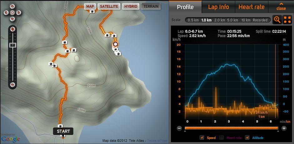
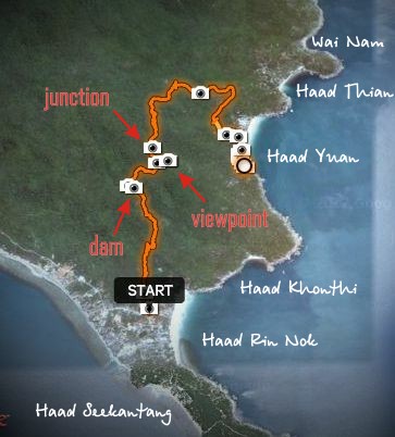
- on the GPS map you will see pictures I took on the trail, often at key points where you could get thrown off the trail (described verbally below with references to the above map). But it's easy to see when you get thrown off, as you soon end in the thick jungle. Just go back and find where the trodden trail continues. It is consistently trodden the whole way.

- the gps trail/map takes you to my favourite pub there (last pic on gps trail [? ), with internet and food etc. Walk along the rickety sidewalk to the end - great photo op.


Haad-Rin-Nok-to-Haad-Yuan-and-Haad-Thian-panorama

slide panorama to see view from the top


For those who do not want to deal with technology etc., a brief description:

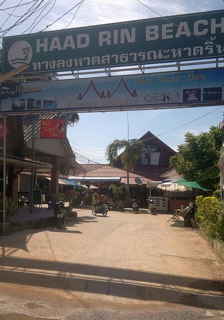
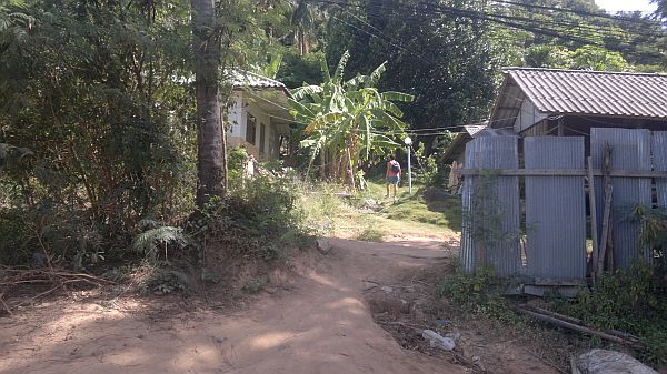
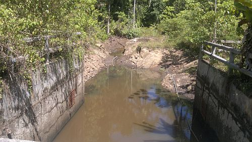
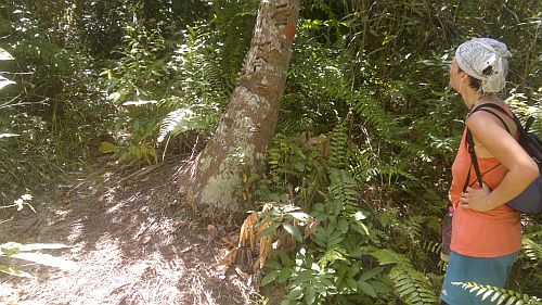
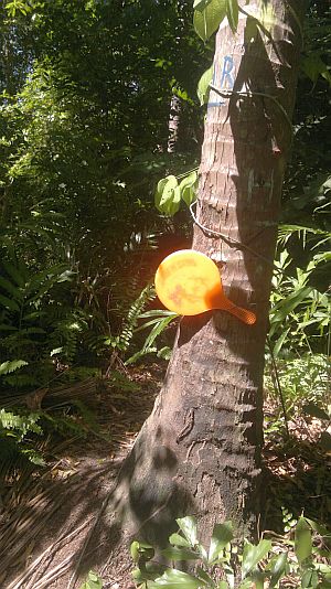
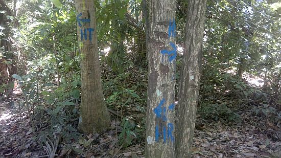
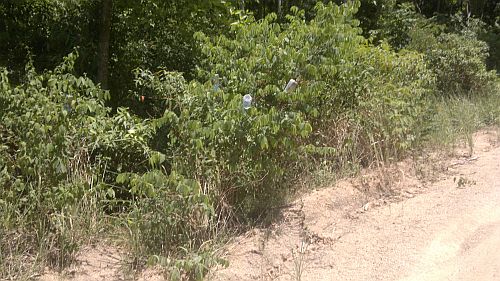
As you enter the main area near the beach, Haad Rin Beach sign hanging over your head and where they often have the gate on full moon parties ("START" on map), go left up the hill, parallel to the beach. You will eventually cross a dirt road and continue straight up the trodden path, which looks as though it is going through someone's yard. Say hi and smile to them if they are there. After that short section it is relatively easy to follow the trail. Once you survive the grueling first quarter, it eases off and you get to a dam (nice long flat stretch - marked "dam" on the above map). Just after that keep your eye out for a sharp right. If you continue straight-leftish the path will slowly fizzle out and it will become apparent you are off the trodden path. Eventually you get to a red ping pong paddle pointing the way, the perfect Thai way how to do things. Sometimes you'll see plastic bottles upside down on branches, another way how Thais mark the way. Go to the right at the paddle, which is a 2 minute walk to a beautiful lookout (marked "viewpoint" on above map - this is roughly the half way point and the rest is all downhill). Then go back, follow paddle, in not too long you get to a junction ("junction"). You will see HT (Haad Tien) and HY (Haad Yuan) painted in blue on two trees. They both take you to the same place but the left one is much longer, although much easier to follow. The right way dives down the slope, can be a bit steep, but will save you 30-40 minutes. Just keep your eye out for the plastic bottles and blue dots on the trees. Otherwise I got lost the first few times and made it anyway just by ploughing my way (barefoot) through the jungle. Make a mental note of all the plastic bottles on the branches, in case you intend to walk the same way back. Go down the road to the right, keep right (although you can certainly explore the other beaches in the area). Eventually you get to big satellite dishes. Walk to the big building, squeeze in around the fence, walk down to the beach, go right to rickety sidewalk and enjoy!  Please remember to respect nature, not litter and conserve waste.


Back to Eco Tourism Koh Phangan, Thailand


Here are some pics of the trail


Haad-Rin-Nok-to-Haad-Yuan-and-Haad-Thian-10

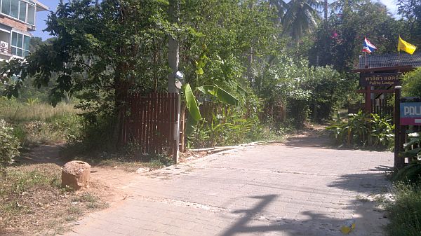
As you enter the main beach. From here you go straight left.
Haad-Rin-Nok-to-Haad-Yuan-and-Haad-Thian-11

A short while after that you get here, where you follow the path to the left of the gate.

Haad-Rin-Nok-to-Haad-Yuan-and-Haad-Thian-12

Here's the garden path entrance when crossing dirt road. After here it's easier.

Haad-Rin-Nok-to-Haad-Yuan-and-Haad-Thian-13

The dam at the quarter way point. These trails often follow blue hoses fed from such dams.

Haad-Rin-Nok-to-Haad-Yuan-and-Haad-Thian-14

The sharp turn right after the dam, marking on tree.

Haad-Rin-Nok-to-Haad-Yuan-and-Haad-Thian-15

The famous red paddle.

Haad-Rin-Nok-to-Haad-Yuan-and-Haad-Thian-16

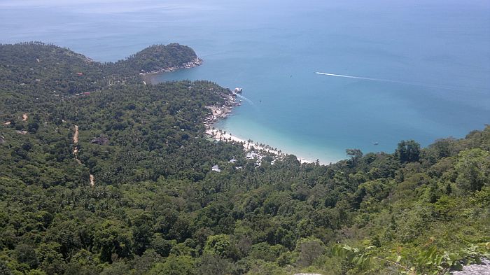
View from the Viewpoint (marked on map).

Haad-Rin-Nok-to-Haad-Yuan-and-Haad-Thian-17

Here you can shortcut it to the right, if you are a daring adventurer.

Haad-Rin-Nok-to-Haad-Yuan-and-Haad-Thian-18

Bottles marking start of trail from road, if you will be heading the same way back.

Haad-Rin-Nok-to-Haad-Yuan-and-Haad-Thian-19

Sneaking past the gate at the satellite building.
Haad-Rin-Nok-to-Haad-Yuan-and-Haad-Thian-20


Haad-Rin-Nok-to-Haad-Yuan-and-Haad-Thian-22


Haad-Rin-Nok-to-Haad-Yuan-and-Haad-Thian-23


Haad-Rin-Nok-to-Haad-Yuan-and-Haad-Thian-24


Haad-Rin-Nok-to-Haad-Yuan-and-Haad-Thian-26

Golden Rock:

Haad-Rin-Nok-to-Haad-Yuan-and-Haad-Thian-27

The place I like to go.

Haad-Rin-Nok-to-Haad-Yuan-and-Haad-Thian-28


Haad-Rin-Nok-to-Haad-Yuan-and-Haad-Thian-30

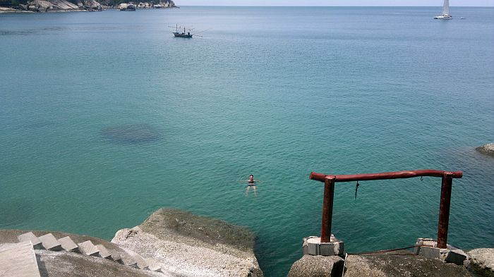
Swimming just below the restaurant.
Haad-Rin-Nok-to-Haad-Yuan-and-Haad-Thian-34         Haad-Rin-Nok-to-Haad-Yuan-and-Haad-Thian-36


Haad-Rin-Nok-to-Haad-Yuan-and-Haad-Thian-38         Haad-Rin-Nok-to-Haad-Yuan-and-Haad-Thian-40


Haad-Rin-Nok-to-Haad-Yuan-and-Haad-Thian-44         Haad-Rin-Nok-to-Haad-Yuan-and-Haad-Thian-39


Haad-Rin-Nok-to-Haad-Yuan-and-Haad-Thian-42


Haad-Rin-Nok-to-Haad-Yuan-and-Haad-Thian-45         Haad-Rin-Nok-to-Haad-Yuan-and-Haad-Thian-50

Obviously not a problem for the Thai Safety Commission.

Opening scene of above video is the paradise bungalow area very far south end of the wooden sidewalk leaving Haad Yuan.
Haad-Rin-Nok-to-Haad-Yuan-and-Haad-Thian-46

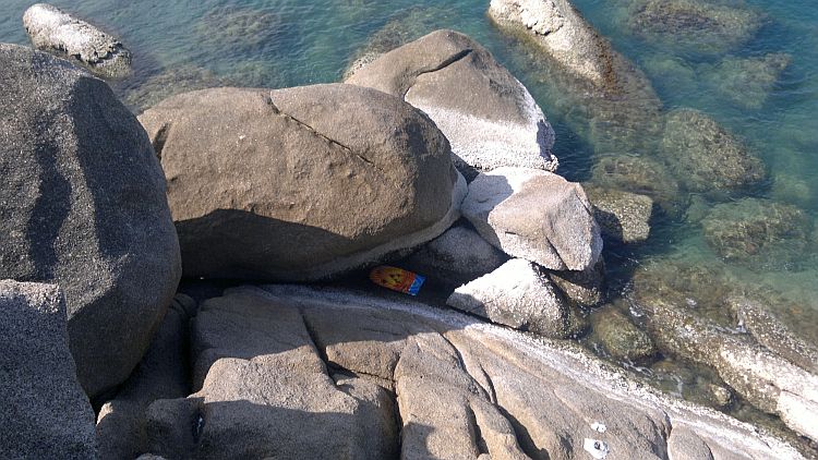
A lost boogie board.

Haad-Rin-Nok-to-Haad-Yuan-and-Haad-Thian-51         Haad-Rin-Nok-to-Haad-Yuan-and-Haad-Thian-52


Haad-Rin-Nok-to-Haad-Yuan-and-Haad-Thian-53         Haad-Rin-Nok-to-Haad-Yuan-and-Haad-Thian-54


Haad-Rin-Nok-to-Haad-Yuan-and-Haad-Thian-55         Haad-Rin-Nok-to-Haad-Yuan-and-Haad-Thian-56


Haad-Rin-Nok-to-Haad-Yuan-and-Haad-Thian-59


Haad-Rin-Nok-to-Haad-Yuan-and-Haad-Thian-58         Haad-Rin-Nok-to-Haad-Yuan-and-Haad-Thian-61

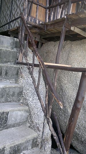
Top left railing will certainly last for YEARS...
Haad-Rin-Nok-to-Haad-Yuan-and-Haad-Thian-60


Haad-Rin-Nok-to-Haad-Yuan-and-Haad-Thian-67

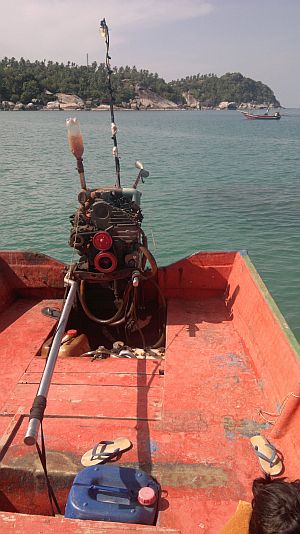
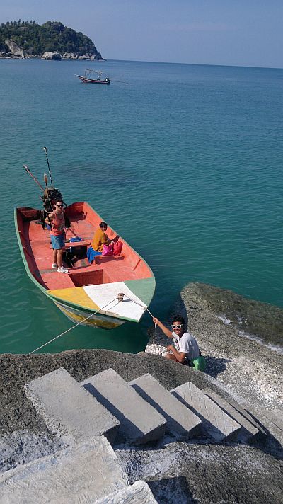
Heading back to Haad Rin.

Haad-Rin-Nok-to-Haad-Yuan-and-Haad-Thian-70


Haad-Rin-Nok-to-Haad-Yuan-and-Haad-Thian-71

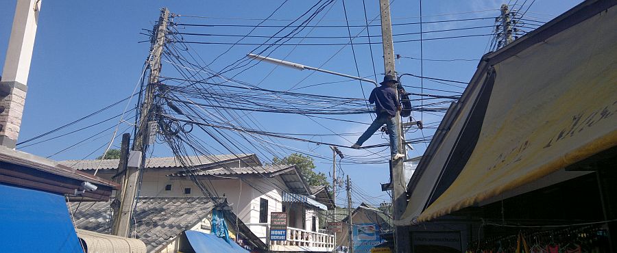
Thai electrician.

Back to Eco Tourism Koh Phangan
Island Hopping in the Philippines
Contact